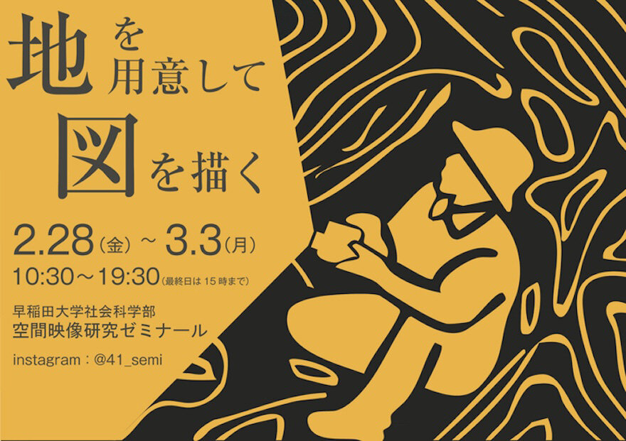
The Spatial Image Research Seminar, School of Social Sciences, Waseda University, will hold an exhibition of research and production results in 2024, "Preparing Land and Drawing a Map." In the research process, we cannot ignore the assumptions of others. We must also not overlook the presence of others in our practice. The seminar holds an exhibition at the end of each year as an attempt to keep a record of the dialogue between seminar students and others, to express the dialogue in the process of bringing individual projects to fruition as social practice, and to transform individual "answers" into new "questions" by doing so. The "questions" posed by the photographs, videos, and papers in this exhibition are the "lands" on which the relationships are built here and now, and the "maps" form the relationships in the research process.
This exhibition, "Preparing Land and Drawing a Map," is an attempt to prepare the "land" as "seminar students," as "individuals," and as "we," and to continue drawing the "map" with one person we will meet, and to leave traces of our work. Please feel free to drop in!
| Event period | Friday, February28, 2025 to Monday, March3, 2025 |
|---|---|
| Time | 10:30 ー 19:30 |
| Venue | AXIS Gallery |
| Fee | Free |
Contact
Spatial Imaging Research Seminar, School of Social Sciences, Waseda University